Navigating the skies has never been easier, thanks to the advent of Unmanned Aerial Vehicles (UAVs). These high-tech flying machines are reshaping the way we perceive and interact with our world. But what’s the secret behind their flawless flight paths and precision landings? It’s all about UAV navigation.
UAV Navigation
 Charting the sky and understanding the mechanics involves an in-depth dive into the world of UAV Navigation. This section unearths what lies at the core of these vehicles, often known simply as drones, and their significance in navigation.
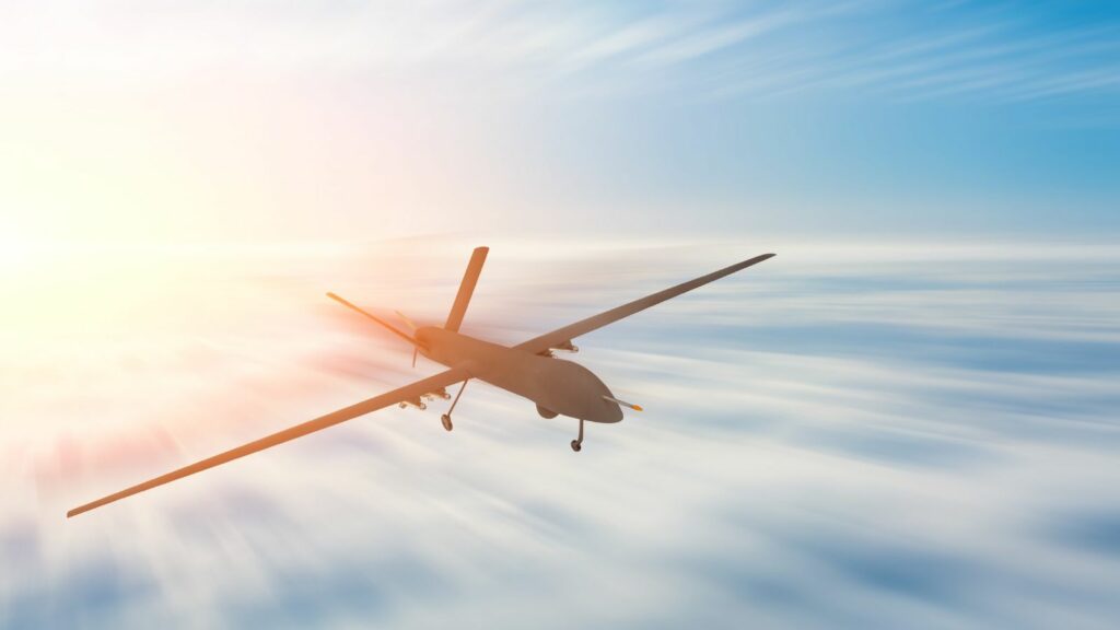
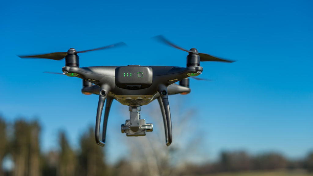
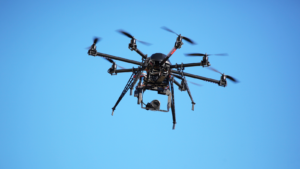
Unmanned Aerial Vehicles (UAVs), frequently referred to as drones, constitute a significant part of the modern aviation spectrum. As the name indicates, these are aircraft devoid of human pilots onboard, and instead, are either remotely piloted or can autonomously navigate pre-defined routes. They range from miniature models for recreational use to complex military machines. Technological advancements like precision GPS, sensory systems, and software platforms powering automatic flight control constitute the backbone of UAV operations.
Principles of UAV Navigation
Basics of Navigation Technology
Navigation technology forms the backbone of UAV functionality. Integral to this technology stand two components: the on-board sensors and positioning systems. On-board sensors, like altimeters and gyroscopes, measure flight parameters while positioning systems, such as GPS, ascertain the drone’s location. For example, altimeters define altitude while gyroscopes establish orientation.
GPS-based Navigation & Inertial Navigation Systems (INS)
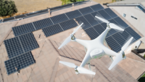
 Amidst positioning tools used, GPS-based navigation predominates. Relying on a constellation of more than 24 GPS satellites orbiting Earth, this system affords geospatial positioning and timing data. For instance, drones used for photography leverage GPS to hover accurately over landscapes, ensuring crisp images and steadiness.
Conjoint with GPS, many UAVs employ Inertial Navigation Systems (INS). These systems leverage accelerometers and gyroscopes to calculate velocity, orientation, and gravitational forces, in turn determining the drone’s position and trajectory. For example, during GPS signal loss, INS takes over, assuring primary navigation continues, uninterrupted.
Current Technologies used in UAV Navigation
Sensor Based Navigation
Sensor-based navigation in UAVs depends heavily on onboard sensors. Altimeters, gyroscopes, and accelerometers provide real-time data on altitude, rotation, and acceleration respectively. Optical sensors, through machine vision, contribute to obstacle detection and avoidance. Inertial Measurement Units (IMU), containing a set of accelerometers and gyroscopes, synchronously manage data to determine the UAV’s current state of motion.
Map-based Navigation
Map-based navigation, another vital technology, fuses UAV’s positional data with pre-existing geographical data for accurate navigation. While GPS provides the drone’s geospatial positioning, maps add context to this positioning. The integration of digital elevation maps (DEMs) helps drones maintain their altitude above ground level, useful in terrains with significant elevation changes.
Challenges in UAV Navigation
Despite advancements in navigation technologies for unmanned aerial vehicles (UAVs), numerous challenges persist. Notable among these are dealing with weather elements and perfecting obstacle detection and avoidance.
Dealing with Wind and Weather
UAVs face considerable turbulence from wind and weather during flight operations. For example, gusty winds alter UAV flight paths, making it difficult to maintain intended trajectories. Similarly, precipitation, such as rain or snow, can interfere with sensor functions and onboard electronics, jeopardizing UAV navigation. Therefore, advanced systems, like meteorological sensors and adaptive algorithms, become crucial. They allow drones to predict and adjust to changing atmospheric parameters, ensuring safe and stable operations.
Obstacle Detection and Avoidance
 A paramount challenge in drone navigation is obstacle detection and avoidance. Predominantly, drones rely on optical sensors to detect surrounding obstacles like buildings, trees, and power lines. However, these sensors may struggle in low-visibility conditions, such as night-time operations or foggy weather, thus compounding the navigation challenge. Fortunately, advancements in LiDAR and Sonar technologies provide better detection capabilities, helping UAVs to scan their environment more accurately for barriers, rendering safer, crash-free navigation.
The Intersection of Technology and Innovation
UAV navigation’s transformative impact on aviation and technology is undeniable. It’s a field that’s seen significant advancements, from the rise of GPS systems to the integration of advanced sensors. These elements have not only enhanced UAVs’ operational range and reliability but also facilitated complex tasks like payload delivery and surveillance. Despite the challenges, particularly in dealing with weather elements and perfecting obstacle detection, the future of UAV navigation promises an upswing in sophistication.